Mapped phase by phase
Each new phase of roads is captured once it opens, and joins the Street View that is already there.
New roads, junctions and developments on Google Street View, kept up to date as they change.
Our Street View team puts places on Google Street View that Google's own cars have not reached yet, from new housing developments and motorway junctions to the road network of a whole country.
Google's own cars come back to most places every few years at best, so a new road or estate can sit on Google Maps as a field or a building site long after people are using it. We drive or walk the routes with 11K Street View cameras, publish the imagery to Google Maps, and fix the map itself where roads are missing or wrong.
It is rarely a single visit. Developments open in phases and roads keep changing, so most projects run as an ongoing programme: we map what is finished now and come back each time a new part opens.
Our Street View team is one of the few that captures Street View in 11K. Most Street View companies shoot in 8K on consumer-grade cameras.
“We had special requirements and wishes for the shots. Everything was fulfilled to our complete satisfaction.”
What we map
Our Street View team has been mapping for Google Street View since 2014. Its imagery has been viewed more than 900 million times, and it has presented its work at Google's Street View Summits in Tokyo, Mountain View and London.
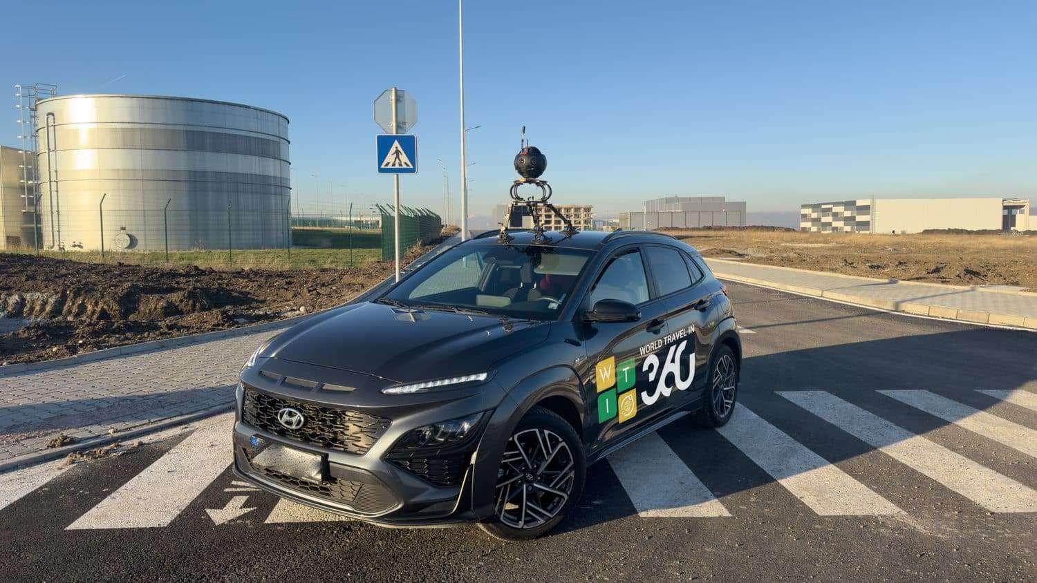
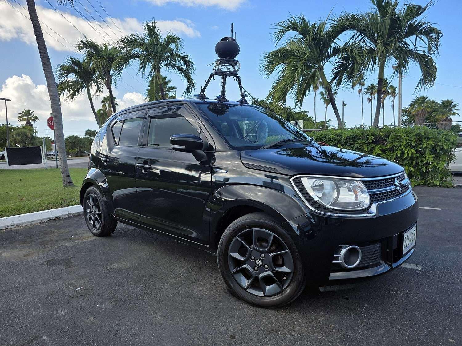
Slip roads, roundabouts, underpasses and link roads, driven with a roof-mounted 11K camera once they are open to traffic.
Estate roads, entrances and visitor routes, mapped as each phase is finished so buyers can look around before they visit.
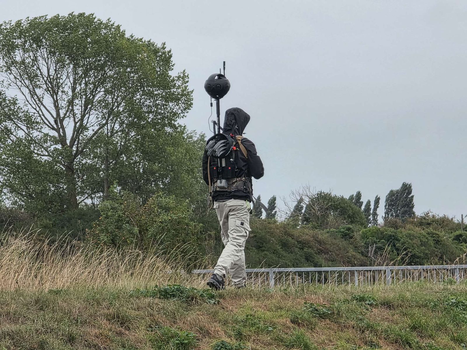
Cycle routes, footpaths and coast paths, covered on foot with a backpack camera where a car cannot go.
Shopping centres, business parks, campuses and heritage sites, captured with the landowner's permission.
Where Google still shows fields or a building site, a new aerial image is captured by drone and the buildings and roads are redrawn on the map.
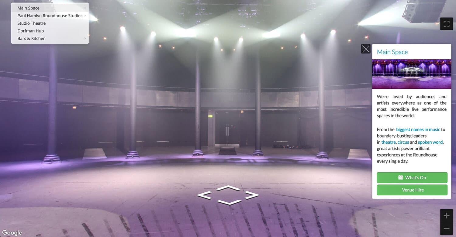
Cafés, sales suites, show homes and welcome centres, published to the right Google Maps listing and joined to the street outside. Google virtual tours
How a development gets mapped
Each new phase of roads is captured once it opens, and joins the Street View that is already there.
A professional 11K camera on a roof mount records the road as the car drives. Most Street View companies use 8K consumer cameras.
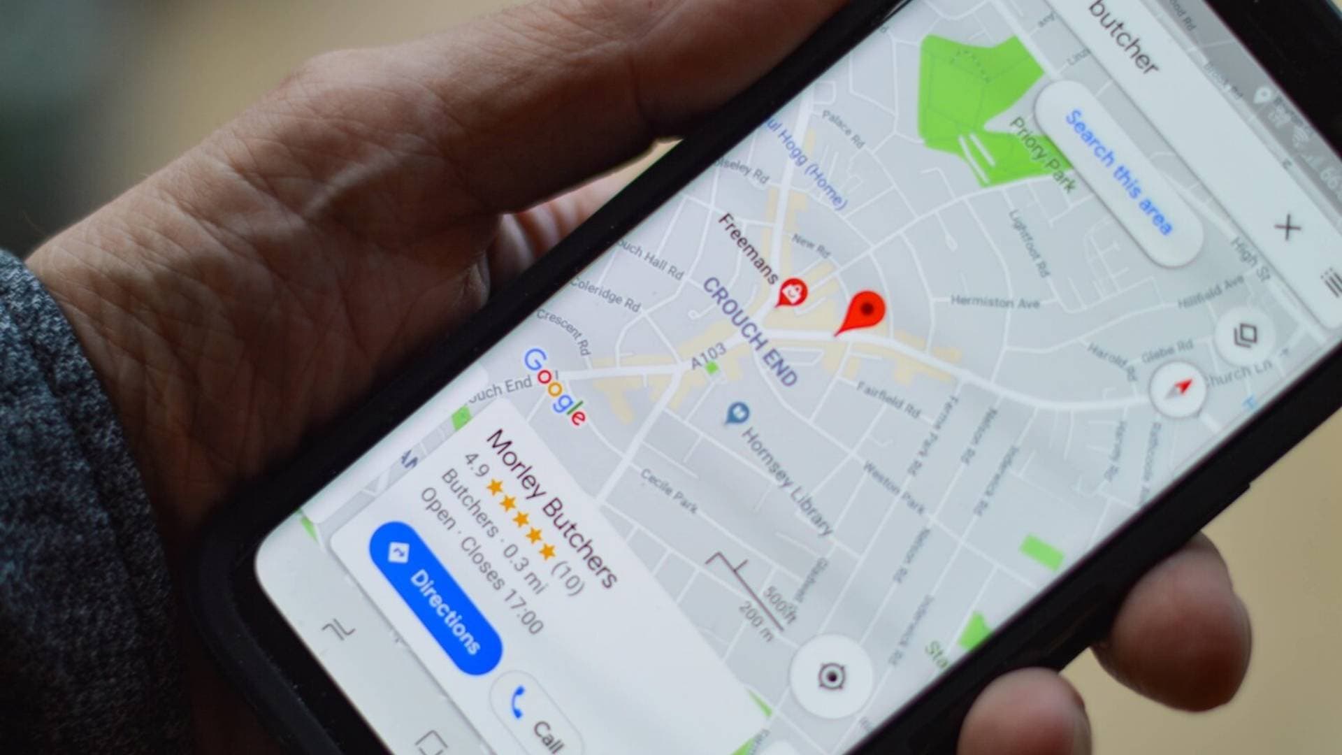
New roads are added to the map, so directions work, and people can look down the street before they visit.
Watch · 42 seconds
How our Street View team puts new roads and developments on Google Street View, phase by phase, and keeps the map itself up to date.
New roads and new homes can take years to show up on Google Street View. Our Street View team drives every new road with an 11K camera, and walks the paths a car can't reach. As each phase of a development opens, we map it and add it to what's already there. We can add missing roads to Google Maps so directions work, and update a satellite view that still shows a building site. The same team mapped every road in the Bahamas, and the England Coast Path. Get in touch with the team here at Biztour, and find out how we can help.
Mapped by our Street View team
7,532 km
Every road on 23 islands of the Bahamas, captured in six weeks for the Government of the Bahamas.
Projects
East Sussex County Council · August 2025
468 km of the coast path walked and captured with a backpack camera, from the Thames through Kent to the Seven Sisters, including the Isle of Sheppey. The team uploaded and processed around four terabytes of imagery every day to keep to schedule.
Click and drag to look around.
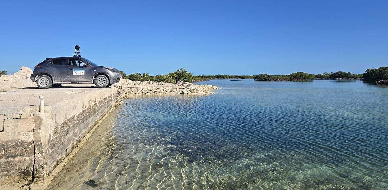
Government of the Bahamas · February 2025
Four teams covered the roads of 23 islands, flying between them with a camera kit that fits in a suitcase, with a base in Nassau stitching and uploading every day. The imagery has reached a million views a month.
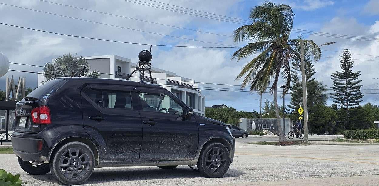
National Roads Authority, Cayman Islands · November 2025
Commissioned to record the condition of every drivable public road, so the authority can compare it year on year and plan repairs. The car was ready to map within an hour of the team landing.
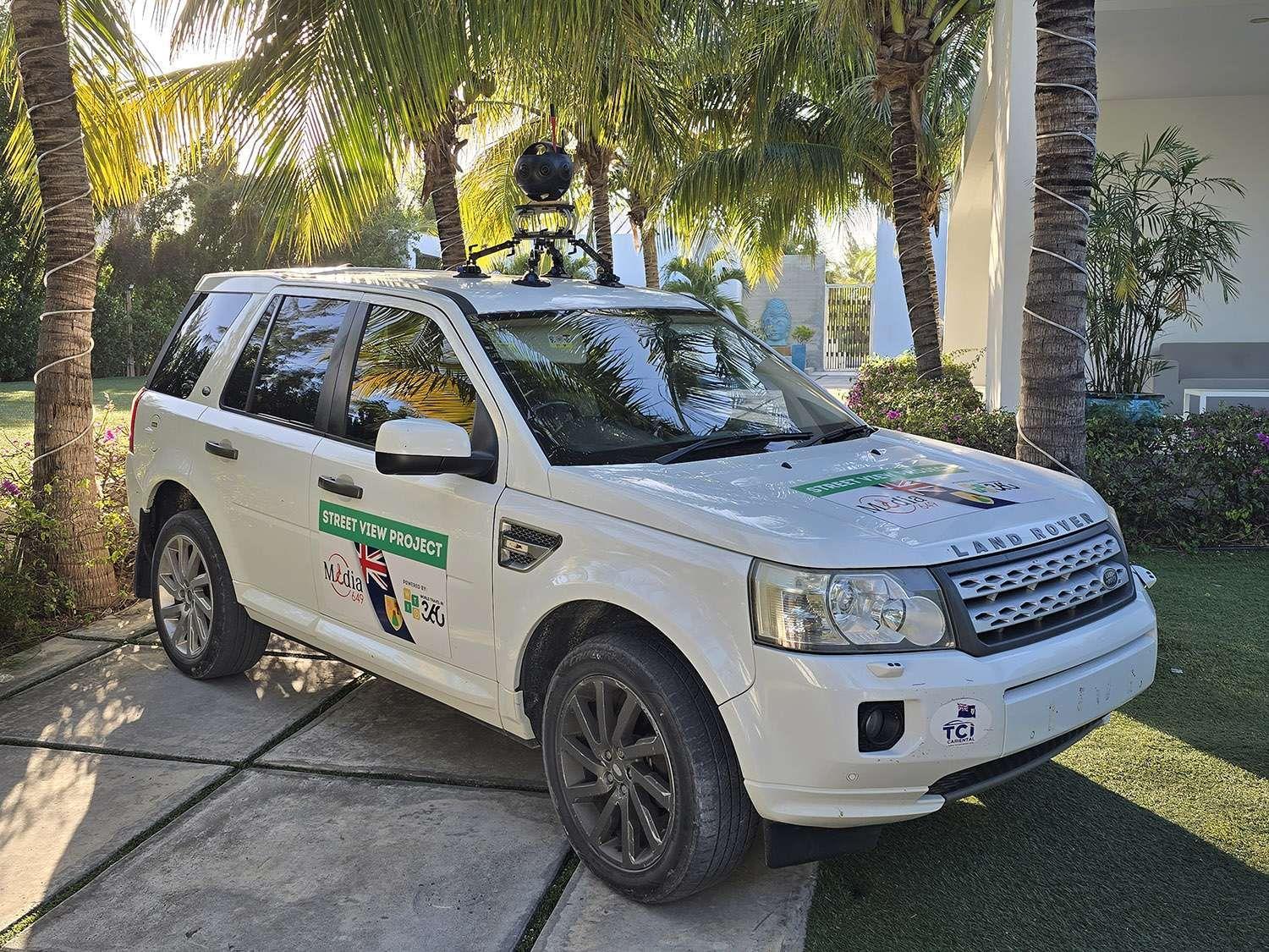
Government of Turks and Caicos · January 2025
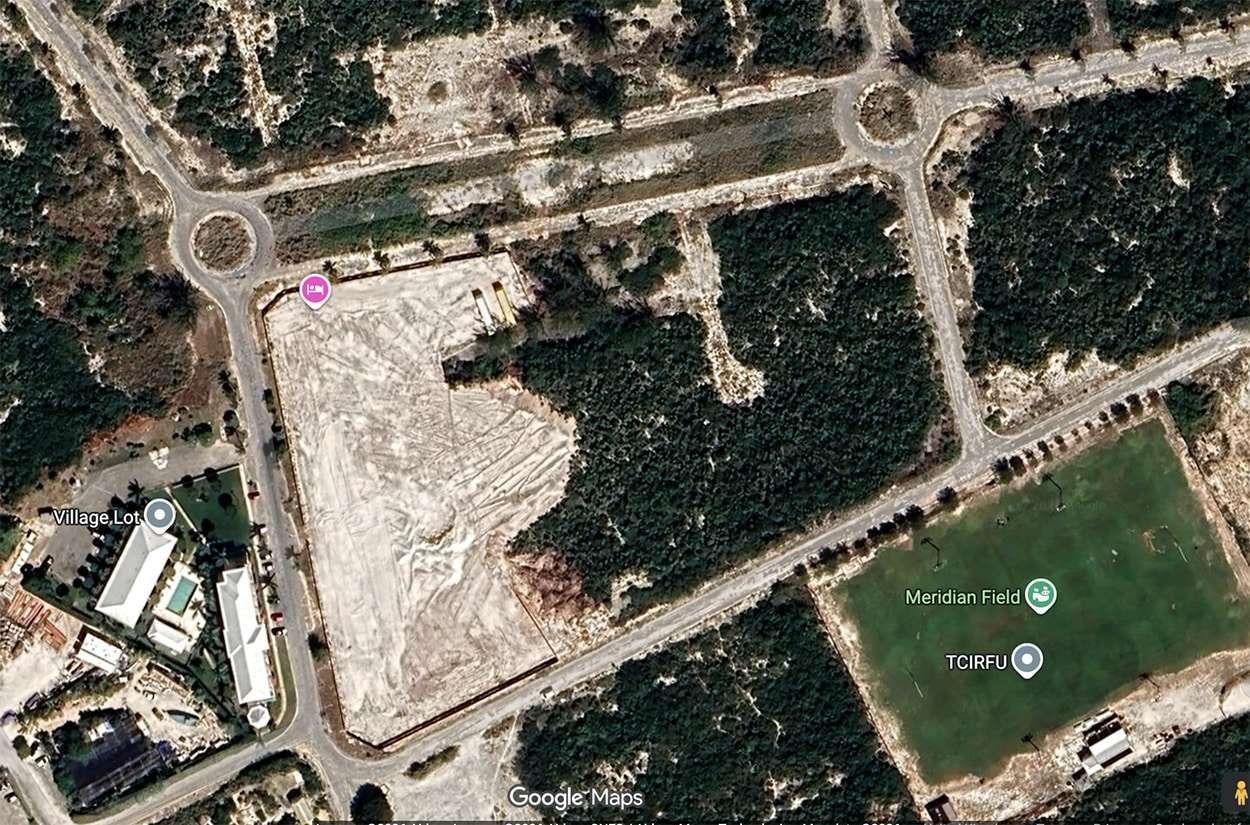
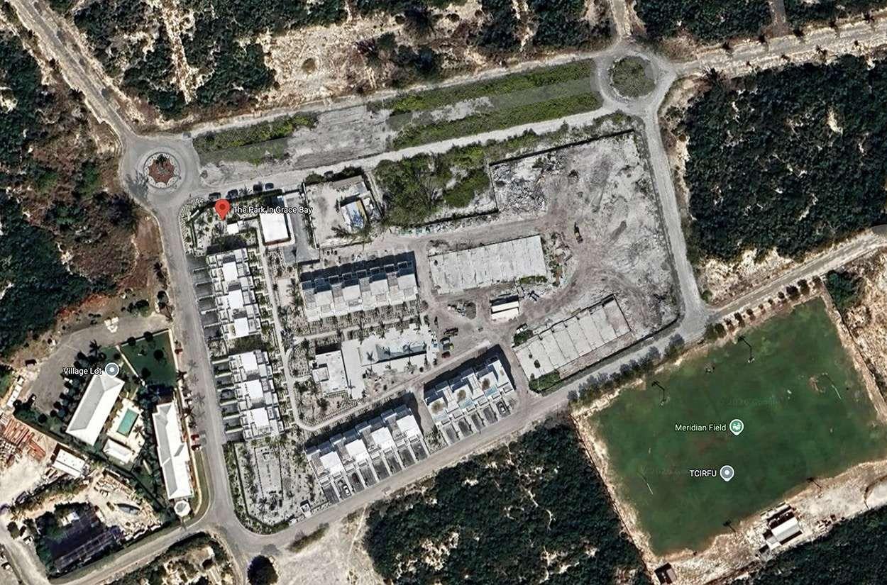
Two cars drove every road on the six inhabited islands and corrected errors in the map as they went. A second team made tours of more than 170 places to visit, and the main area of Grace Bay got a new satellite view and a 3D model.
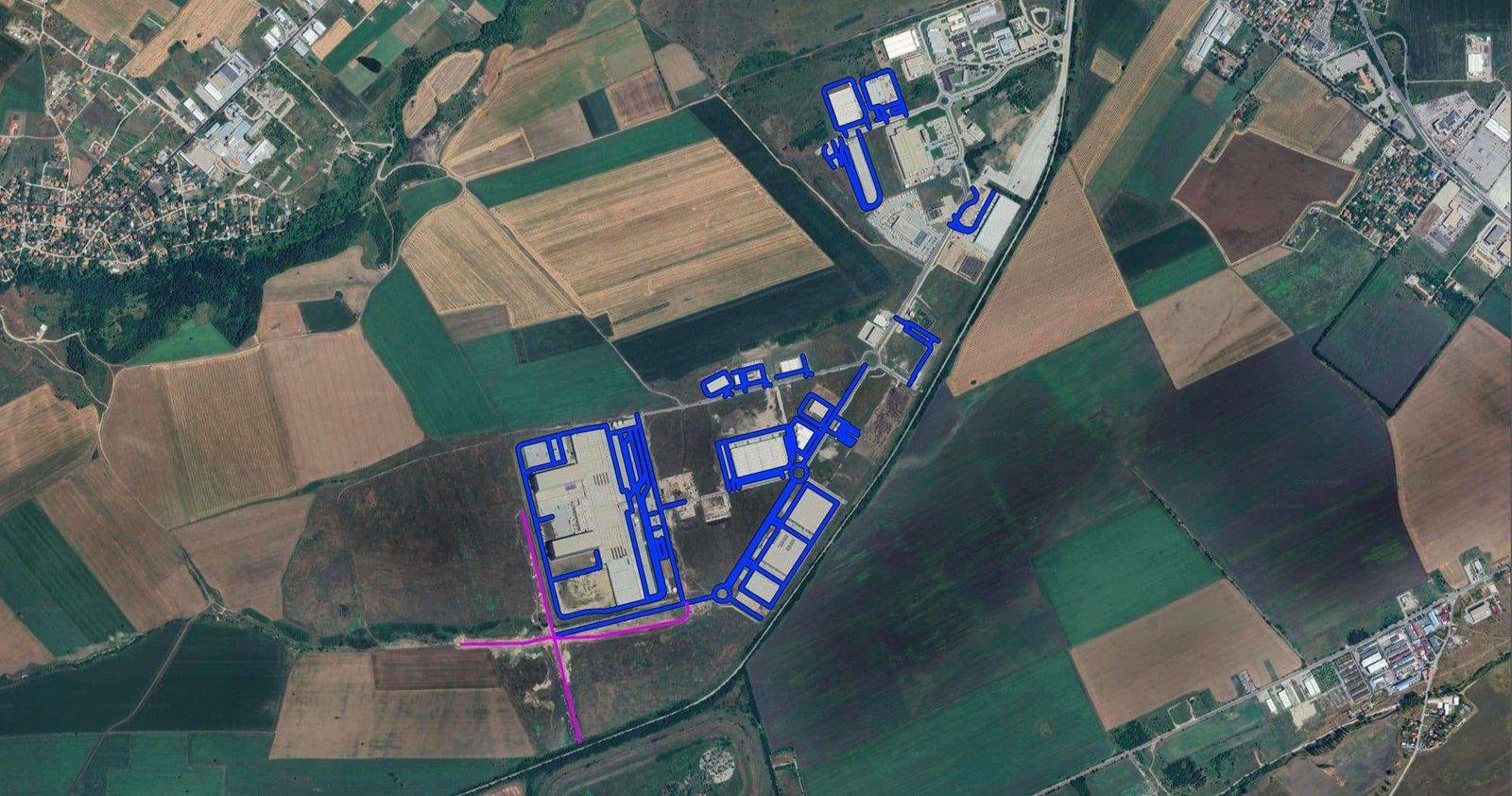
Logistics businesses · December 2023
Lorries could not route to new warehouses because the roads were not on Google Maps. A drone survey traced the roads, the team checked them on the ground, added them to the map, then drove them for Street View.
The map itself
Street View imagery is what people see when they drop into a road. Directions come from Google's map data, which is a separate layer. When a new road is missing or wrong, our team draws it, names it and sends it to Google, then checks that it routes properly once Google has accepted it. Google reviews every map edit itself, so that part runs to Google's timetable rather than ours.
The satellite view can be years out of date on a new development and still show fields or a building site. A new aerial image can be captured by drone and the building outlines redrawn, so the map matches what is there now.
Pricing
Most projects start with a site visit, so we can see what is finished, what is still being built and how it is best captured. Indoor Google tours of a café, sales suite or welcome centre follow our standard prices, from £525.
What the price depends on
How it works
Most projects run in phases. We map what is finished now and come back as each new part opens.
We go round the site with you and agree which roads, paths and buildings are in scope, and what is finished and what is still being built.
We plan the routes and how each part is captured, by car, on foot or by drone, and agree access with the landowner or highway authority where it is needed.
Roads are driven with a roof-mounted 11K camera and paths are walked with a backpack camera, planned around traffic and weather.
The imagery goes up to Google Maps, map corrections are sent to Google, and we check that everything shows and routes as it should.
When a new phase, road or building opens, we capture it and add it to what is already there.
Questions
Yes. That is most of what our Street View team does. Google's own cars may not come back for years, so we capture the new roads ourselves and publish the imagery to Google Maps, then add each new phase as it opens.
No. The imagery is what people see. Directions come from Google's map data, which is a separate layer. We can do both: we capture the imagery, and we draw and name missing roads and send them to Google. Google reviews every map edit before it goes live, so that part runs to Google's timetable.
Public roads that are open to traffic are driven like any other vehicle would drive them. Roads that are still being built, private estate roads, and anything captured by drone need permission first, which we agree with you, the landowner or the highway authority before we start.
We upload as we go. Imagery usually appears within a few days of upload, and map edits such as new roads can take longer because Google checks them first. Both stages sit with Google, so we give you our own timings in the quote and keep you updated.
Yes, and most projects work that way. We agree how often to come back, for example each time a phase completes, and price the return visits in the quote.
Yes. Cafés, sales suites, show homes and welcome centres can be shot as Google virtual tours, published to the right Google Maps listing and joined to the Street View outside.
Each project is quoted on its own, based on the distance, how it is captured, access and permissions, and how many phases there are. Most start with a site visit.
All prices are plus VAT. Your written quote always shows the VAT separately, so there are no surprises at invoice.
Over 13 years of shooting means we've worked in almost every kind of space. Find yours to see what a tour does for your industry.
Trusted by














Our prices start at £525 and are based on your specific requirements. We aim to respond to all form submissions and email enquiries within 15 minutes during business hours.
5-star rated on Google
“I used Biztour to get virtual tours done of all our coworking spaces and I am so pleased with how they turned out! They were super communicative, and really flexible to help us hit our deadlines.”
Accredited, and shooting since 2013.


5.0★ on Google · 1,338+ tours shot since 2013 · We aim to answer every enquiry within 15 minutes in business hours
60 seconds, 5 questions
Answer five quick questions and we will tell you which tour suits your space, what size it should be and what it costs. Send us the result and we will quote it properly.